


le mitan Fonfcirylle

Michel DUBOIS
User
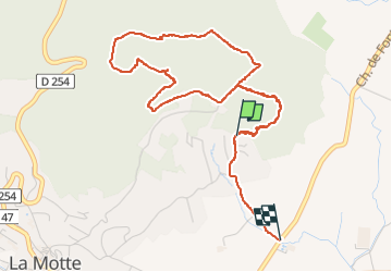

Length
5.5 km

Max alt
246 m

Uphill gradient
164 m
Km-Effort
7.9 km

Min alt
62 m

Downhill gradient
230 m
Boucle
No
Creation date :
2025-05-12 09:02:39.93
Updated on :
2025-05-12 11:12:43.067
2h09
Difficulty : Easy

FREE GPS app for hiking
 SityTrail
IGN / Geographical institutes
SityTrail Plus
The world is yours!
About
Trail Walking of 5.5 km to be discovered at Provence-Alpes-Côte d'Azur, Var, La Motte. This trail is proposed by Michel DUBOIS.
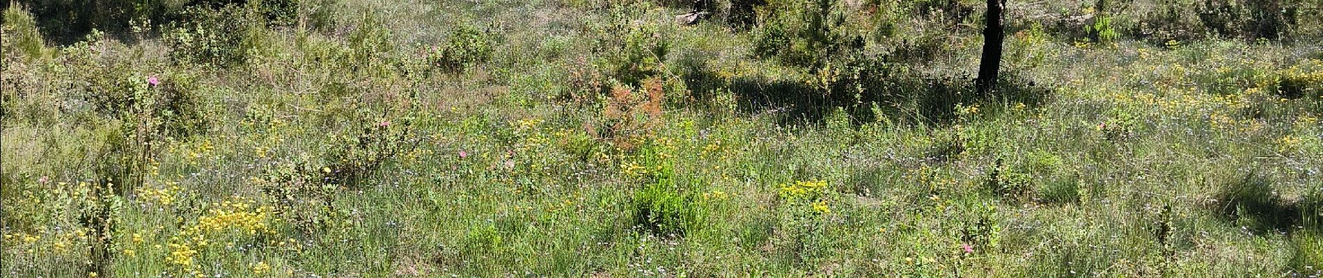
Photos


Positioning
Country:
France
Region :
Provence-Alpes-Côte d'Azur
Department/Province :
Var
Municipality :
La Motte
Location:
Unknown
Start:(Dec)
Start:(UTM)
301934 ; 4819349 (32T) N.
Comments